SOLOMapper : The affordable and efficient mapping tool
Providing reliable and efficient Remote Sensing Platforms » is the mission that guides Aerial Vista through the development and evolution of our systems.
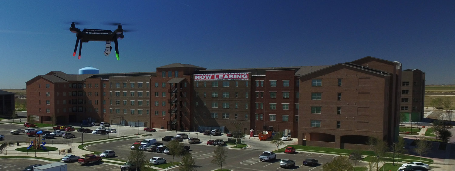
We design our drones as multi-use utility flying platforms , ie tools for the carriage of sensors of all types (photo, video , thermal , IR, lasers, gas …).
Over Ten years of R & D helped to develop a range of systems that Aerial Vista has used in for governments, schools and private companies around the world.
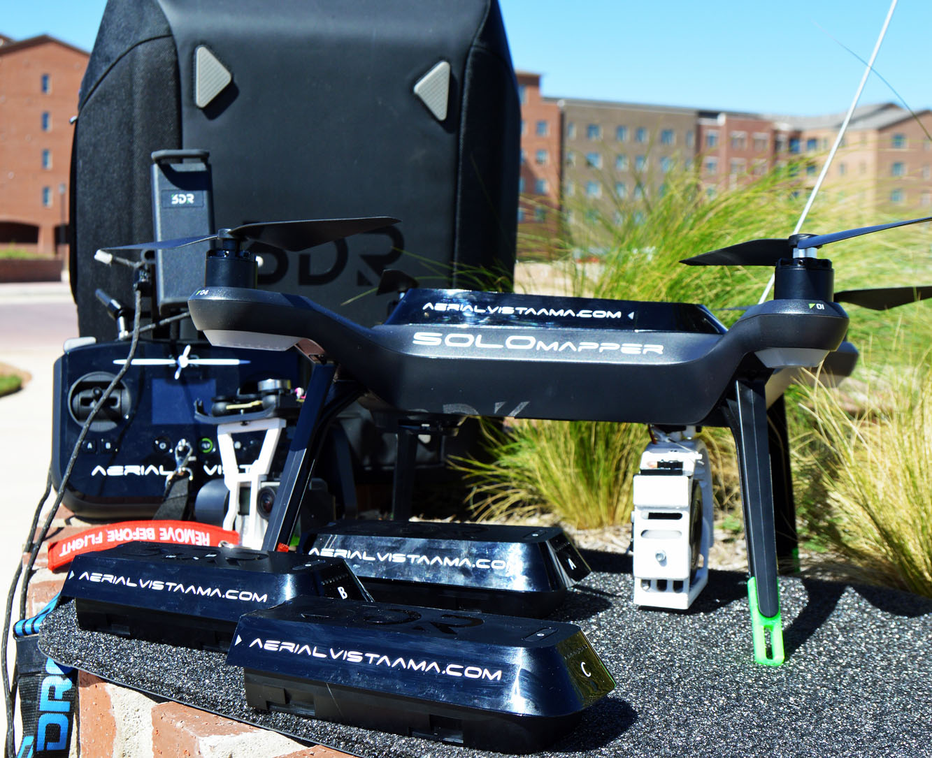
The 3DR Solo drone is manufactured in North America and its SOLOmapper version is manufactured by Aerial Vista in the United States by our standards: Efficiency, Reliability, Security, Scalability.
The feedback of complex missions such as modeling of historical monuments, tower inspections, professional photography make the SOLOmapper the top performer tool of its price range worldwide.
Evolution through various tools and sensors allows it to be versatile in its use and particularly economical in price since a single platform is used for several applications (video, photo, inspection, photogrammetry, mapping, multispectral, thermal, 360° …)
Exploiting Pixhawk open hardware technologies and open source software Dronecode provides constantly updated system with the latest technology and the viability of long-term system.
Multrotor System
SOLOmapper
- 15 minutes autonomy
- Navigation via waypoints
- HD video streaming
- 1 km range
- Max speed 80 km/h
- Max wind 55 km/h
Sony QX1
- APS-C Sensor (23,2 x 15,4 mm)
- 16mm lens (compatible Sony E Mount)
- 20,1 MegaPixels
- Jpeg + Raw recording
2 Axis Gimbal
- Specifically designed for the Sony QX1 Camera
- Ajustable from the controller
- Resistant and lightweight
Package A NO SOLO
$1950 plus shipping and SquareUp fees
One smart-gimbal Mapper
- And its companion computer
- Leg extenders
- One 8gb SD Card
- One 8gb USB key
One Sony Qx1
- One Sony 16mm lens
- One 8gb SD card class 10
Package B NO CAMERA
$1450 plus shipping and SquareUp fees
One smart-gimbal Mapper
- And its companion computer
- Leg extenders
- One 8gb SD Card
- One 8gb USB key
Fully Integrated
HD Live Video Feed
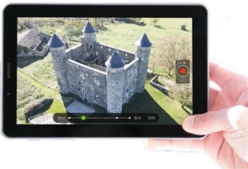
The Tower and Solo applications streams a live video feed of the QX1 (split-screen or full-screen), allowing you to locate the direction of the drone and to frame your shots.
Create Missions Fast
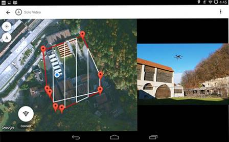
With the software and applications provided, creating automatic survey missions and monitoring real-time data is easily accessible on all platforms. Mission Planner, Tower, DroidPlanner
Open and Efficient System
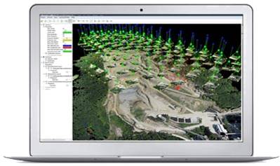
A microcomputer is integrated into the drone to provide a link between devices, allow recovery of geotagged files and recover a project ready to operate by different market softwares : Pix4D , Photoscan , Menci , Acute3D , MicMac
Multi-Use Platform
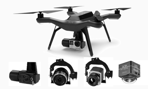
The SOLO Mapper can very quickly transform to host the original 3DR 3 axis stabilized gimbal for GoPro (4k videos). Other sensors such as Sequoia (multispectral) and the Kodak camera 360° are supported, and in the future perhaps thermal IR cameras
